Purpose of the Alia Space NUTS is to provide to users different data layers tailored to specific geographical areas.
Currently, supported data layers are:
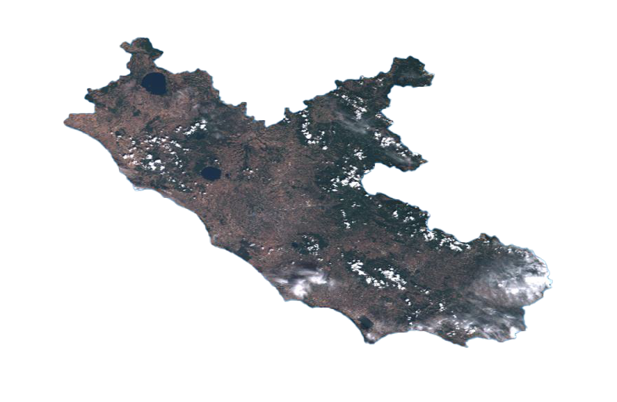
Copernicus Digital Elevation Model with 30 meters resolution Copernicus Sentinel 2 products L 1 C and L 2 A
The supported geographical areas are:
NUTS (NOMENCLATURE OF TERRITORIAL UNITS FOR STATISTICS) GADM (DATABASE OF GLOBAL ADMINISTRATIVE AREAS)
How NUTS works
Select layer DATA
Within the NUTS application, you can choose from a variety of data layers.
Select layer LEVEL
Once you've selected the layer data, you can adjust the level of detail according to your preferences.
Specify the SOURCE
NUTS provides multiple sources for satellite imagery. You can choose the specific satellite or data provider you prefer, each offering their own coverage and characteristics.
Define the Data TYPE
Depending on your needs, you can specify the type of satellite data you want to visualize.
Define the Data TYPE
Depending on your needs, you can specify the type of satellite data you want to visualize.
Set the PERIOD
Finally, you can define the time period for which you want to view the satellite imagery.
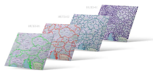
The NUTS classification is a hierarchical system for dividing up the economic territory of the EU and the UK for the purpose of:
The collection, development and harmonisation of European regional statistics
Socio economic analyses of the regions
NUTS 1 : major socio economic regions
NUTS 2 : basic regions for the application of regional policies
NUTS 3 : small regions for specific diagnoses
The main stages of NUTS GDS service are:
Receive requests from user.
Estimate the number of products to be downloaded, the area coverage, size and whether they are online or offline.
Retrieve from the data layers products covering the geographical areas.
Process the data cutting and merging the products according to the geographical areas.
Provide the products to the user.
Once you have completed these steps, the NUTS application will process your request and provide you with the selected satellite photo for download.